
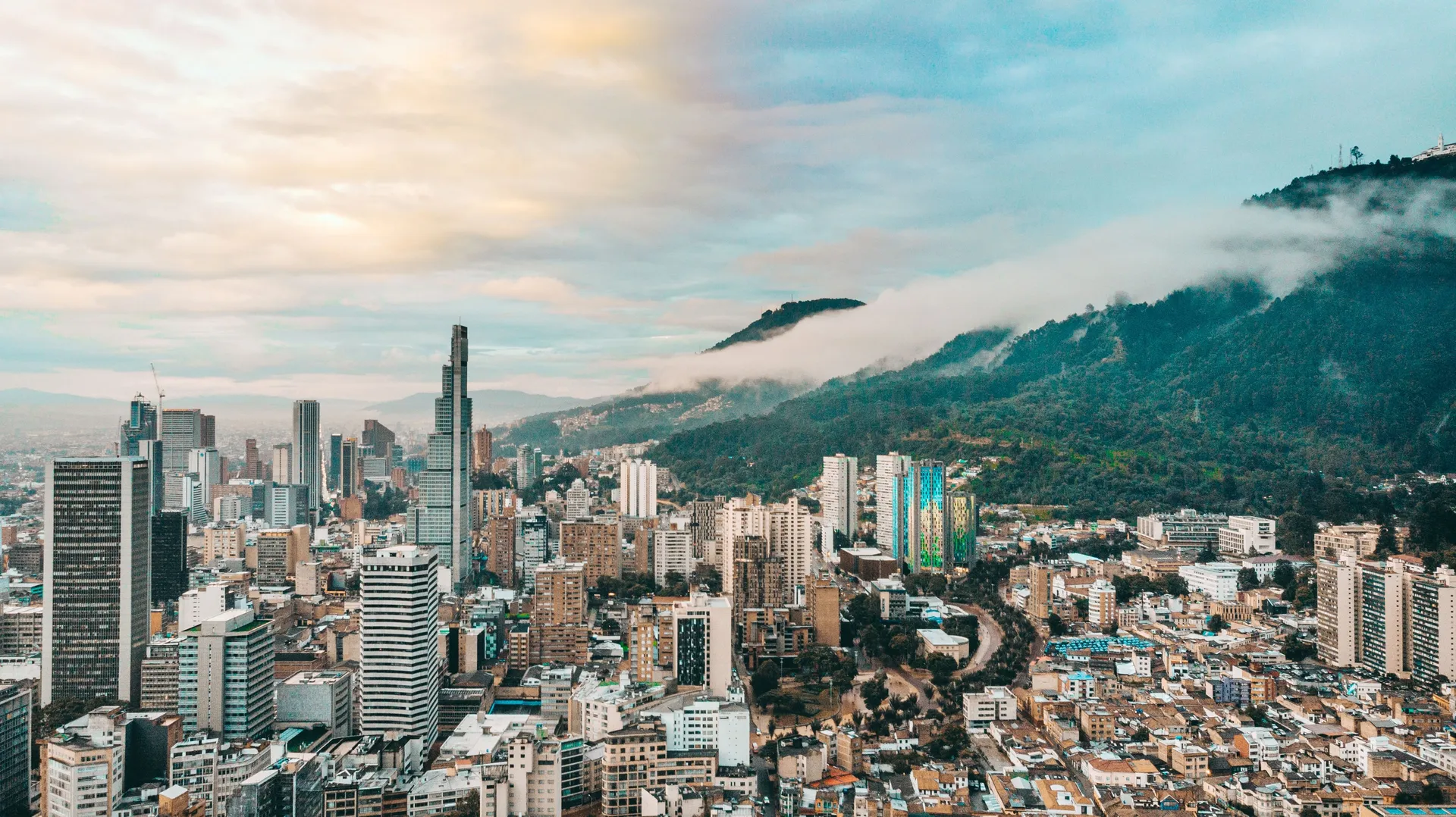
Bogotá has been trying to build a metro since the 1940s. Several times a plan reached the point of drawings and financing before being canceled, which is why residents developed a habit of not believing in it. That habit is now out of date.
On August 4, 2026, the sixteenth of thirty trains arrived at the Bosa yard, passing the halfway mark on the fleet. Construction of Line 1 stood at 80.37 percent complete as of June 30. This is worth a traveler’s attention, though probably not for the reason you would expect.
Where the Project Actually Is
Line 1 runs 23.9 kilometers from the Patio Taller in Bosa, in the southwest, to Calle 72 at Avenida Caracas. It will have 16 stations, 10 of them connecting directly to TransMilenio, the city’s bus rapid transit network.
More than 16 kilometers of elevated viaduct are built. The Calle 26 and Atrio station is finished, the first new station to be fully completed while work continues elsewhere. Construction is visible along Avenida Villavicencio, Avenida Primero de Mayo, the Autopista Sur, Calle 8 Sur, and Avenida Caracas.
The trains are the part that makes it feel real. Each is 134 meters long, six cars, carrying up to 1,800 passengers, fully automated with no driver, running at an average commercial speed of 42.5 kilometers an hour. When the line opens, the trip from Bosa to Calle 72 is expected to take about 27 minutes. The same journey can take up to two hours today.
Commercial service is scheduled to begin in March 2028.
The Part That Affects You Now
March 2028 is not a travel plan. The reason this matters for a trip in 2026 or 2027 is the opposite of the shiny part: Avenida Caracas is a construction corridor, and it will be for another eighteen months.
Caracas is one of Bogotá’s main north-south arteries and carries a core TransMilenio trunk. Building an elevated viaduct along a working busway means lane closures, moved stations, rerouted services, and traffic pushed onto parallel streets. If your mental model of getting around Bogotá comes from a guidebook written before the work started, it is out of date in the places where the work is heaviest.
Practically, this argues for a few things. Give yourself more time than the map suggests for any crossing of the center on a weekday. Treat TransMilenio route information as something to check on the day rather than to memorize in advance, since trunk services along Caracas have been adjusted repeatedly through construction. And where a journey is short, walking or a taxi app often beats fighting the corridor at all. Our Bogotá transport guide covers how the systems work and what to use when.
Choosing where to sleep matters more than usual too. Staying within walking distance of what you want to see removes the problem entirely for most of a short trip, and our guide to where to stay in Bogotá breaks the city down by neighborhood.
Why It Is Worth Watching Anyway
There is a version of this story that is just infrastructure trivia. The more interesting version is what it says about the city. A metro changes which neighborhoods are reachable, which changes where visitors go, and Line 1 runs from the southwest of the city toward the center, connecting districts that most itineraries have never included.
That is a 2028 conversation. For now the honest summary is that Bogotá is building the thing it spent eighty years failing to build, that it is four fifths done, and that living through the last stretch of construction is part of what visiting the city currently involves. Our Bogotá city guide covers the rest of it, and our post on getting around Colombia handles the intercity legs.
Sources checked August 10, 2026. Construction schedules move. The completion figure is the city’s own reporting as of June 30, 2026.